
Walk a Plymouth County Street
A street-by-street search starts with the physical address and the municipality. Plymouth County has 27 separate local record systems, so a parcel in Brockton, Hingham, or Wareham requires that town’s assessor and clerk even though its deeds route through the county Registry. Current ownership is often visible through a municipal parcel card. Actual occupancy is not guaranteed by that card. Build the trail one record at a time, and record the town, parcel identifier, book and page, and dates as each source supplies them.
The Town of Plymouth offers a clear example through Patriot Properties WebPro, ToPGIS, property and permit links, and the Registry’s TitleView index. Other county towns use the same general sequence with different local portals. When a portal is missing or a record predates its online coverage, move to the assessor office, local archives, or a focused Massachusetts public-records request instead of guessing from a map.
- Enter the address in the town assessor search and note the parcel, assessed owner, situs address, and sale-history reference.
- Open the municipal GIS viewer and select the parcel to inspect its mapped shape, nearby parcels, and available layers.
- Use the owner name, book and page, document number, or property mode in TitleView to follow land filings.
- Check the town’s permit, plot-plan, or archive route for construction and address-linked records.
- For an older household, compare a historical directory, census, cemetery, obituary, or probate record with the address trail.
Plymouth County Street Directory Fields
Plymouth WebPro is the researched assessor model for the county. Its property search permits owner-name and street or address searches, and the Town of Plymouth publishes annual assessment lists by owner, parcel ID, and street. The assessor’s office maintains real-estate ownership and property data, reviews Registry recordings, subdivisions, and mergers, and uses building-permit information in valuation work. Its online file is updated once a year, so the office is the route for the most current information.
The official Plymouth WebPro search illustrates the fields available before a street result is carried into GIS or the deed index.
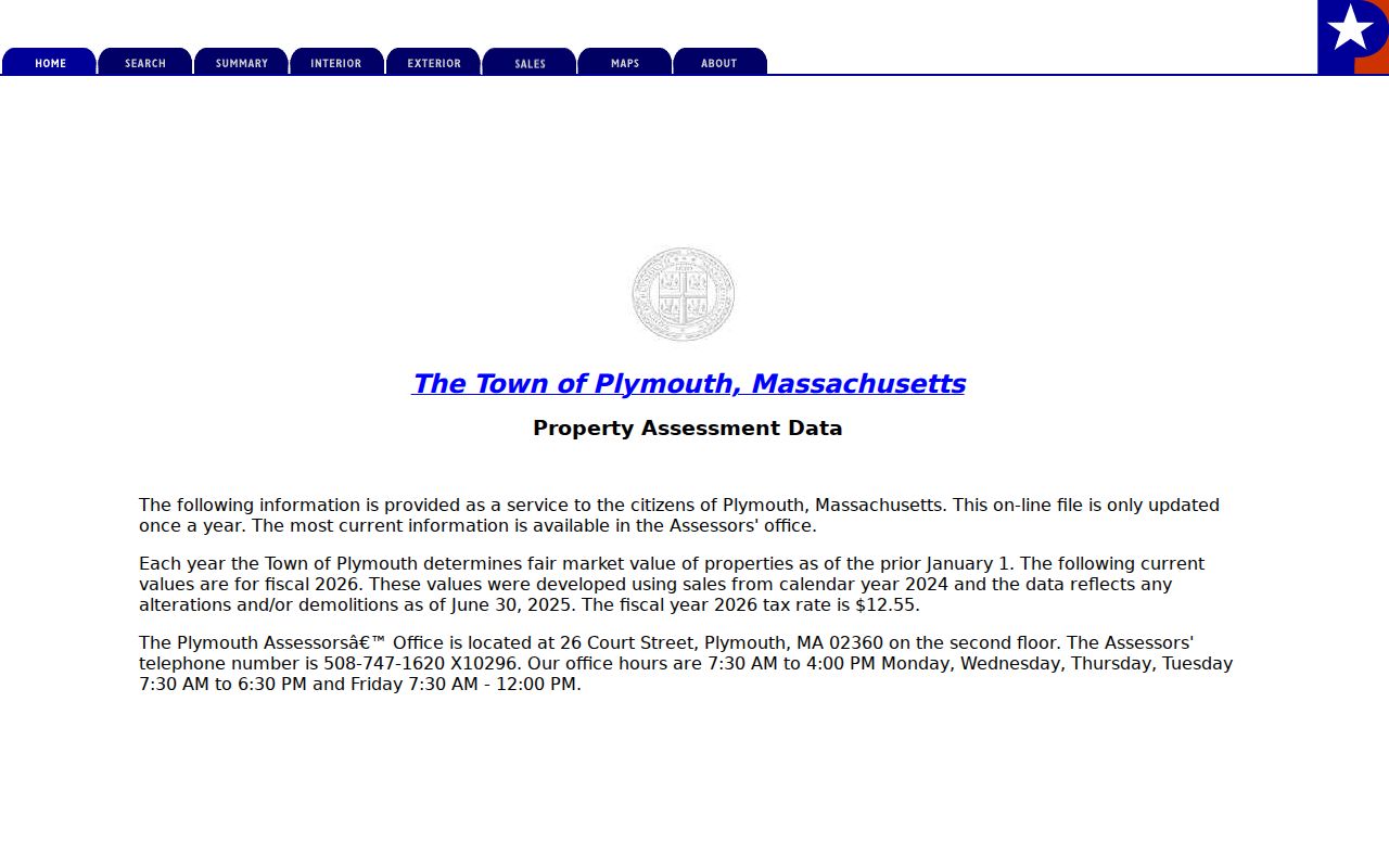
The screen is a property-record starting point. A result can identify the record needed next, but it should not be read as a complete list of everyone connected with an address.
| Search field | Street-research use |
|---|---|
| Owner name | Finds parcels assessed to a named owner. |
| Street or address | Finds the property card from a physical address. |
| Parcel ID | Links the property card to map and plan work. |
| Sales history | Supplies a lead for the recorded transfer. |
Plymouth County Mailing and Situs Addresses
A parcel card can hold both a situs address and a mailing address. The situs is the physical site of the property. The mailing address is where the assessor sends tax material. They may match, but they do not always do so. This difference is important on a Plymouth County street directory search because a mailing result can identify an assessed owner without proving that the owner occupies the building.
A parcel is the land unit used in assessment and mapping. A plat or plan is a recorded drawing that can show lots, roads, and other layout detail. Keep the legal description, parcel identifier, and street address together because a deed may use the legal description while a current map uses a road name. For questions about past households, the address needs additional records beyond the parcel card.
- Parcel
- A defined property unit used by the assessor and GIS.
- Situs address
- The physical location of the property.
- Mailing address
- The address used for assessor correspondence, which may be elsewhere.
- Plan
- A recorded map or drawing that helps identify land and roads.
Map a Plymouth County Street
The Town of Plymouth’s GIS page links ToPGIS, FEMA mapping, and the MassGIS interactive property map. The viewer helps a researcher see the parcel before reading the land filing. Select the address, inspect the parcel boundary, and note adjacent parcels or layer labels. Map results are an orientation tool. A boundary shown on a map is not a replacement for a recorded deed, plan, or official survey.
The official Plymouth GIS entry page routes users to the town’s map tools and its stated GIS context.
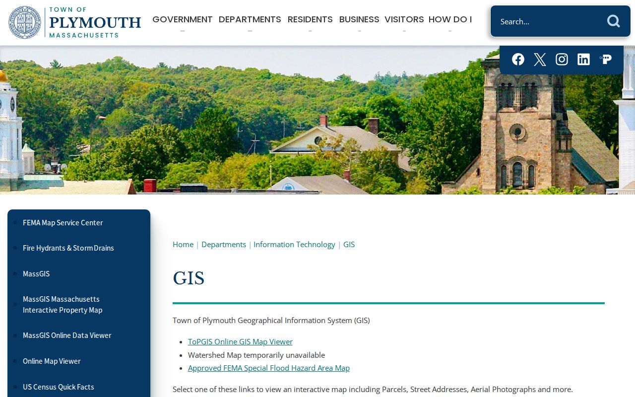
Once the correct parcel is identified, return to the assessor card for its record fields and to the Registry for the legal land record. This avoids treating a street line alone as proof of ownership or residency.
Plymouth County Deed Chains by Address
TitleView supplies the countywide land-record branch that follows an assessor result. The Registry makes off-site searching and viewing free. TitleView separates Recorded Land, Registered Land or Land Court, Plans, and Plymouth Colony records; it offers name, book, date range, document, and property search modes as applicable. The town filter includes each of the 27 county municipalities. Use the parcel’s town and a document reference wherever possible.
Grantor means the party conveying an interest. Grantee means the party receiving it. To work backward, start with the present owner’s acquisition as grantee, identify the prior grantor, and repeat that person’s earlier acquisition. This is a chain of title, a record of property transfers. It is not a household list. A family member, renter, or other occupant can be absent from the deed even when the address is correct.
The Plymouth TitleView search displays the record branches and search criteria used for this step.
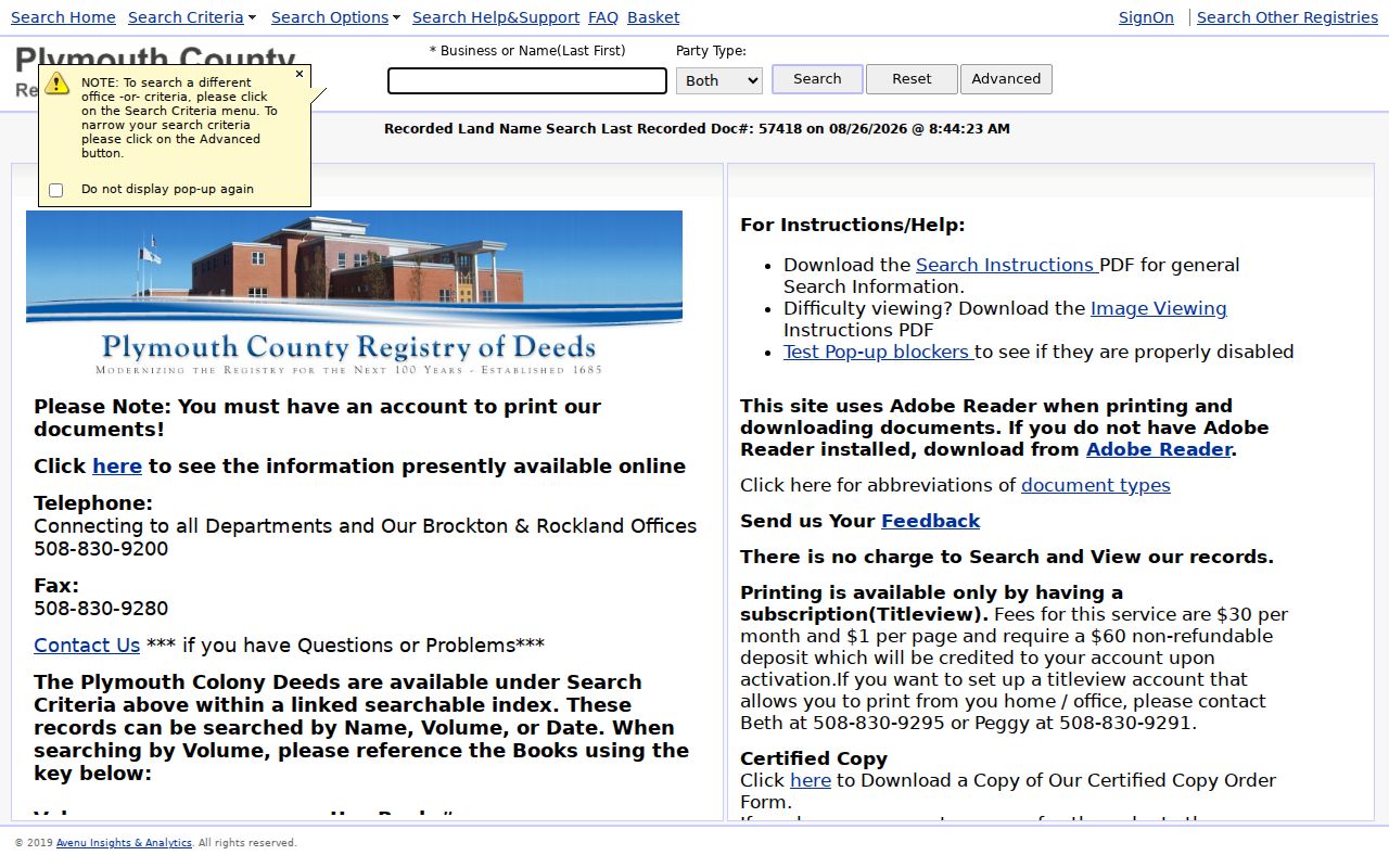
Online grantor and grantee indexes begin August 6, 1686 and continue to current records, with back-indexing ongoing. Plymouth Colony deed images cover 1620 through 1685, and older printed indexes and books remain available at the Registry.
Plymouth County Street Permits
Deeds show transfers. Permits and property files can explain physical changes that a transfer record does not. Plymouth’s Properties & Permits page links its online permitting system, published building permits, digital property records, plot-plan requests, the assessor, GIS, and collector resources. A permit may name an owner, applicant, contractor, or project address. It should be read as a record of an application or work process, not a statement that each named person lived there.
For an older or unavailable file, Plymouth Public Records & Archives accepts a targeted request route. Ask for an existing record by address, date range, and record type. The research found no unified county permit portal, which makes the municipality and its department the required starting point. A plot plan or permit can help date additions and demolitions when paired with the assessor card and deed chain.
Plymouth County Locality Street Labels
Street research can fail when a historic document uses a locality name rather than the modern town or ZIP last line. The county officers booklet maps names such as Manomet, North Plymouth, Cedarville, Brant Rock, Greenbush, Onset, and White Horse Beach to their municipalities. Preserve the original locality wording in notes, then check the county locality directory, USPS address lookup, GIS, and the relevant town assessor.
This is especially useful for directory entries, plans, older deeds, and historic-house material. A locality can identify a neighborhood within Plymouth, Marshfield, Scituate, Wareham, or another municipality without functioning as a separate legal town. ZIP codes are delivery geography, not a substitute for the municipal record keeper. Use the current municipality for the assessor and permit system, then compare the older label in historical collections.
Plymouth County Records by Street
Address-keyed sources stack together only when the reader knows what each one proves. The assessor card leads on valuation and assessed ownership. GIS provides a parcel view. The Registry index reveals the land instrument trail. Permits identify recorded work or applications. A voter-related record has its own legal limits, and historic directories supply earlier household context. The table separates those roles so a street result is not overstated.
| Address source | What it shows | Keeper | Access channel |
|---|---|---|---|
| Assessor parcel card | Assessed owner, property facts, parcel, mailing data | Relevant town assessor | Town portal or office |
| GIS parcel viewer | Mapped parcel, adjacent lots, available layers | Municipal GIS | Viewer and GIS office |
| Recorded land and plans | Parties, document references, transfers, plans | Plymouth County Registry | TitleView, public stations, copy request |
| Permit or plot-plan file | Address-linked work or plan request | Municipal department | Portal, archives, or request |
| Historical directory | Past household or address context | Library or archive | Reading room, microfilm, digitized source |
The common links are the town, street spelling, parcel, and date. A property result from Plymouth cannot stand in for a parcel record in a different county municipality. Record the source date because online assessor files and deed indexing can update on different schedules.
Plymouth County Past Street Occupants
The Plymouth Public Library Bartlett Room gives an address search a historical fallback. Its local collection includes genealogies, town reports, maps, photographs, yearbooks, newspapers, and historic-house material. The Plymouth Historic Houses Collection uses ten binders based on a 1992 to 1995 Massachusetts Historical Commission survey and includes an alphabetical street-name index. A house history can identify historic name, builder, architecture, and residents, but it is a researched historical file rather than a current resident roll.
Criss-cross directories reverse the usual name-to-address arrangement and can be especially helpful when they exist for the needed period. Pair an address entry with the closest federal census year, then test it against deeds, obituaries, cemetery records, or probate. The historical collections themselves belong on the Plymouth County directory book route; use them here only after the street and municipality are secure.
Plymouth County Street Search Limits
A street directory is not a list of every person at every address. Assessor records focus on property and assessed ownership. Deeds follow legal land interests. Historic directories can omit people or use abbreviations. Massachusetts voter information is split between a self-status form and limited local-file access, and confidential voters are protected. The research did not locate an official countywide public jail roster, a unified county assessor, or a public HOA member directory. Those gaps require the verified town, Sheriff, library, or office fallback, not an invented search source.
RMV personal information is not an ordinary street-search source and is controlled by the federal Driver’s Privacy Protection Act. Utility and delivery records are not public address lists. Sealed or impounded court materials and protected vital records remain outside an address search even when an adjacent record is public.