
Plymouth County Previous Residents by Era
Previous residents are best traced across record eras. TitleView and the Registry's in-office books establish the transfer trail. Directories and federal census schedules add household evidence, while maps, building records, house files, obituaries, cemetery entries, and probate help explain changes between the major record dates. The table separates a source's coverage from what it can actually show. A house can have a long deed trail without a continuous occupant trail, especially when directory coverage is scattered.
| Address-history source | Verified period | Where held | What it can show |
|---|---|---|---|
| Plymouth Colony deeds | 1620 to 1685 | Registry TitleView image collection | Colonial land references and book-end index pages. |
| Grantor and grantee records | August 6, 1686 to current | TitleView, public stations, and printed Registry volumes | Transfers, parties, liens, plans, and legal descriptions. |
| Plymouth directories | 1887 to 1990, scattered; 1909 digitized | State Library, Plymouth Library, and Internet Archive | Names, locality or street clues, and household context. |
| Federal census | 1790 to 1950 released schedules | National Archives and authorized library databases | Household composition and residence at enumeration. |
| Historic houses and maps | 1992 to 1995 survey; March 1891 map | Bartlett Room, MACRIS, and Library of Congress | Builder, architecture, footprint, material, and address context. |
| Probate and vital material | Probate 1633 to 1967 collections; vital series vary | Court, Archives, RVRS, and town clerk | Heirs, estate links, death endpoints, and family timeline facts. |
For a recent owner period, start with the assessor and TitleView. For a turn-of-the-century house, add the 1909 directory, the 1891 Sanborn sheets, and census years around the address. For an early tract, use the Registry's colonial images, later grantor and grantee books, plans, and the legal description. The record that has no name can still solve the address-continuity question.
Plymouth County Previous Residents and Place Names
A modern address may not be the language used by past residents. The county locality directory connects labels such as Manomet, North Plymouth, Cedarville, White Horse Beach, Brant Rock, Greenbush, and Onset to their municipalities. A directory, deed, or obituary can use a village, an earlier road name, a nearby town, or a lot description instead of the current postal form. Keep that original wording in the research notes, then bridge it with the municipality, parcel, plan, historic map, assessor, and MACRIS street index.
No official source located a countywide street-renumbering or street-renaming chronology. That is a limit, not a reason to guess a conversion date. If an old street number fails, check the plan, subdivision, road geometry, house-history binder, and town clerk or assessor before deciding that the address disappeared. A legal description often survives a changing street label more reliably than a current street string.
Trace Plymouth County Previous Residents by Deed
The deed chain begins with the current municipal assessor card, but a tax card is only the starting point. Separate the physical situs from the current tax-mailing line, then record the parcel ID, owner form, sale date, book and page, and legal description. The current owner is generally the grantee on the acquisition deed. The seller or grantor from that deed becomes the next name to search as a grantee in an earlier transfer. Repeat the sequence while preserving the document reference at each step.
- Identify the municipality and pull the current assessor record. Copy the situs, parcel ID, owner name as written, sale reference, and legal description.
- Search TitleView Recorded Land by name, town, document type, and date range. Open the detail and image tabs for the acquisition deed.
- Record parties, book and page or document number, recorded date, document type, plan, and the seller's name. A recorded date is not necessarily the sale date.
- Search that seller as an earlier grantee, then move backward one transfer at a time. Search trust, corporate, and spelling variants where the instrument suggests them.
- Use plans, merger records, subdivision material, and legal descriptions when parcel identifiers or street wording change. If a title change follows a death, test the Probate and Family Court route.
- Move to the Registry's printed grantor and grantee volumes or original books for an ambiguous or unindexed period. Compare the result before claiming a break in title.
- Grantor and grantee
- The grantor transfers an interest in the document. The grantee receives it. Their roles are the key to moving backward through an acquisition trail.
- Chain of title
- A sequence of recorded transfers and related instruments that follows an interest in a parcel through time.
- Legal description
- The lot, plan, metes, bounds, or other formal property description used in a record. It can outlast changes in street numbering or locality labels.
- Criss-cross directory
- A reverse or address-side directory that can be searched from a street and number toward a named household when that feature exists in the volume.
Plymouth County Historic TitleView Gaps
TitleView has several branches rather than one uniform index. Recorded-land linked grantor and grantee indexes run from August 6, 1686 to the present, with back-indexing still ongoing. Plymouth Colony deeds from 1620 to 1685 are images with index pages at the end of each book. Registered-land grantor and grantee indexes begin in 1899. Plan access also has its own coverage: the linked plan index begins in 1890, while plan books and indexing levels vary.
Plymouth County TitleView exposes the Recorded Land, Registered Land, Plans, and Plymouth Colony search branches used to follow this trail.
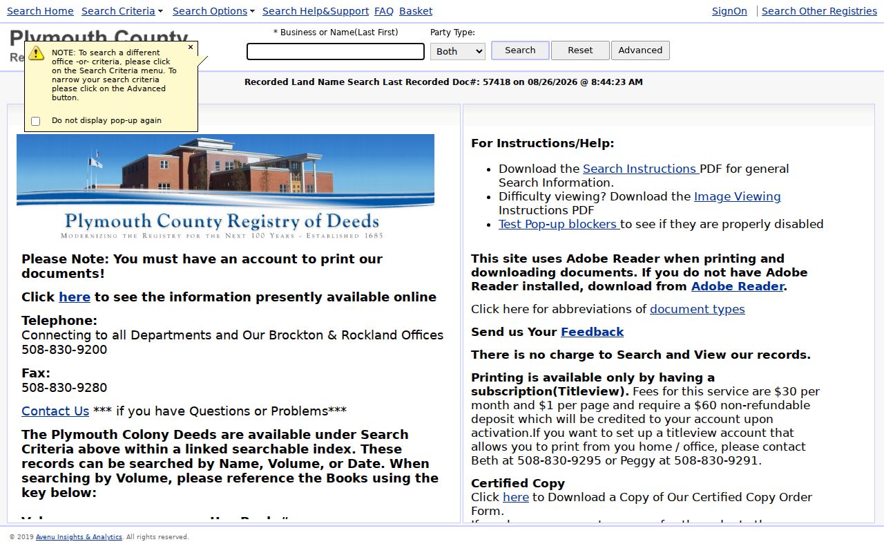
Search and viewing are free, but home or office printing requires a TitleView subscription. Copy and certified-copy routes are separate. The Registry provides mail and credit-card phone forms, and its three public-access locations have online material at public stations. Old grantor indexes before 1970 and grantee indexes before 1960 are unedited. Search with fewer name characters and compare the printed index or original book when a spelling variation is plausible.
Do not treat an online gap as proof that no transaction happened. It may reflect unfinished back-indexing, an unindexed book, a special plan collection, an estate transfer, or the wrong land-record branch. The Registry inventory also identifies record books from Book 1 forward and special historical collections that can supply a needed bridge.
Plymouth County Historic Occupant Files
Plymouth Public Library's Historic Houses Collection gives an address a different kind of history. The Bartlett Room holds ten binders from a 1992 to 1995 Massachusetts Historical Commission survey, arranged by location with an alphabetical street-name index. A house file can identify a historic name, builder, architectural description, neighborhood, and residents. It is a strong bridge between a parcel trail and a lived history, but it is not proof of title or a complete occupancy list.
MassGIS historic inventory information describes the MACRIS map and inventory layer used alongside the Bartlett Room collection.
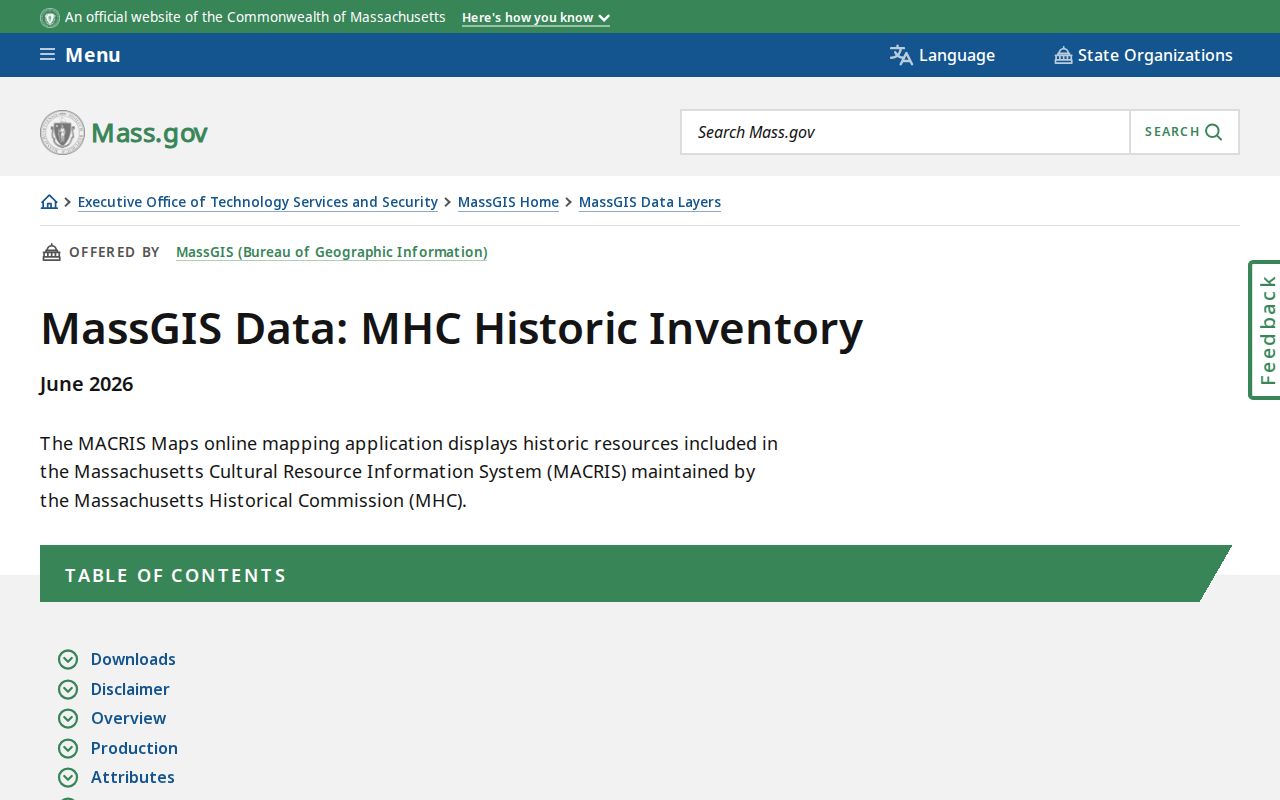
MACRIS adds mapped inventory points and areas, yet its source files can lag and it is not a substitute for original records. A short library or archives inquiry can also route a search to digital property records and plot plans. For the collection itself, the History Room is available by appointment; the library's reference channel and the town archives are appropriate fallbacks when a street index or binder requires staff access.
Plymouth County Past Household Census Pairing
Owner history is only part of the past-resident question. Directories can identify a named person, occupation, street or locality, and sometimes the shorthand “r” for rents or “bds” for boards. Those notations are editorial clues, not title evidence. The State Library's Plymouth runs are scattered from 1887 through 1990, with a digitized Plymouth resident and business directory for 1909. The historical volumes themselves are described in the Plymouth County Directory Book.
- Choose the likely town and directory year, then search surname and given-name variants in the residents section.
- Copy the entry exactly, including street or locality, occupation, and the volume's abbreviation key. Search the address side or street sequence if the volume provides one.
- Pair the directory with a released federal census year, such as 1870, 1880, 1900, 1910, 1920, 1930, 1940, or 1950. Label the census enumeration date and directory publication date separately.
- Compare household names, approximate ages, relationships, occupation, street, and locality. A census is a snapshot, so it cannot by itself date a move.
- For a disappearance, test the next directory, newspaper, cemetery, probate, deed, and vital route before assigning a reason.
Federal schedules show household composition and residence at enumeration. Directories are more frequent where the collection survived, but have gaps, editorial lag, spelling errors, and omissions. Together they can place past residents at an address with stronger context than either source alone.
Plymouth County Historic Occupant Footprints
Plymouth's March 1891 Sanborn map set has nine sheets at the Library of Congress. A sheet can show a building footprint, construction material, number of stories, use, outbuildings, street names, and lot context. It cannot name every person who lived there. Pair it with a deed, assessor card, directory, newspaper, or MACRIS record so the physical building evidence and the household evidence remain distinct.
For a later alteration, Plymouth's official property materials identify OpenGov permitting, published building permits, digital property records, and plot-plan request channels. A permit may name an owner, applicant, or contractor and can date work before a later transfer. Public historical utility-customer records were not located, so permit issuance, inspection, assessment changes, building narrative, newspaper notice, Sanborn footprint, and deed recording should be treated as separate dating clues.
Where Plymouth County Resident Trails End
When a directory entry disappears, the next steps are Old Colony Memorial microfilm or NewsBank, cemetery or interment records, a death certificate through the correct custodian, probate, and the following year's directory. Plymouth Public Library links town cemetery material and reports more than 30 cemeteries. Probate can identify heirs, executors, estate references, and transfers. A disappearance can mean a move, a death, a missed listing, or a publication gap, so no single result should decide the story.
Vital records have their own limits. Massachusetts does not provide a general public vital-record browser, and some birth, marriage, adoption, and death material has restricted access. Court material may be sealed or impounded. These boundaries are part of an accurate house history, not a gap to bypass. Use the town clerk, RVRS, Massachusetts Archives, court clerk, cemetery office, or library as appropriate to the specific record.
Lawful use. Trace previous residents for family history, house history, estate research, civic curiosity, or personal safety. Do not use an old address trail to harass, threaten, or track any living person.