
Plymouth County Neighbors by the Block
Public sources can describe the physical block around a Plymouth County address, but each source answers a narrow question. A municipal map places the parcel. The assessor supplies tax-record information for that parcel. The Registry explains transfers and plans. A town election office, when it lawfully releases a municipal file, supplies only the public voter fields. Those records work best as separate checks, not as a single list of Plymouth County neighbors.
| Block source | Useful public detail | Verified access route |
|---|---|---|
| ToPGIS parcel map | Parcel IDs, frontage, street pattern, address points, and map layers | Town of Plymouth GIS, then click and identify |
| Town assessor record | Owner, tax mailing line, parcel, value, building facts, and sale reference | Plymouth WebPro; other towns use their own assessors |
| Registry land record | Transfers, mortgages, plans, legal descriptions, and recorded parties | Plymouth County TitleView search and office records |
| Municipal voter file | Lawfully released public voter fields for registered voters only | Ask the address town's clerk or election office for its current public file |
| Civic and historical sources | Public meetings, project addresses, historic-house notes, and older household context | Town agendas, the library, archives, and the MACRIS inventory |
Plymouth County has 27 municipal systems, so the town attached to the address matters before any block search begins. Owner information is not an occupant roster. A parcel can be held by a trust, business, care-of manager, or an owner who receives tax mail elsewhere. A voter record, historical directory, permit, and deed each have a different date and purpose. Treat them as dated evidence, and do not turn a mailing line into a claim about who is present at the property.
Map Plymouth County Neighbor Parcels
Use the Town of Plymouth example only for a Plymouth address. The town's GIS page links ToPGIS, a viewer with parcels, street addresses, aerial photographs, and related layers. For another Plymouth County municipality, begin with that town's own assessor and GIS route. The documented block method is map browse and click or identify. The published materials do not promise a radius or buffer tool, so a current viewer control should be used only when it is visible.
- Search the subject address, then confirm its municipality and parcel rather than relying on a similar street name.
- Select that parcel and zoom to the immediate street segment. Note the parcel ID, street address, and public layers that explain the setting.
- Click each nearby or touching parcel separately. Record its parcel reference and the linked public owner field without assuming two parcels share an owner.
- Open each assessor and Registry result on its own merits. Plans and legal descriptions resolve questions a graphic parcel line cannot.
The ToPGIS parcel viewer is the starting visual reference for a Plymouth block.
Use the displayed parcel pattern to organize the next record checks, not to establish a legal boundary. Plymouth's GIS guidance warns that parcel lines are graphic representations, layers may be out of date, and placement errors can reach 50 feet or more.
A full named-street record trail has a different purpose and is covered by the Plymouth County street directory. Keep the scope to the immediate parcels visible around the address.
Note: A parcel across a road, separated by an easement, or visually touching on the screen may not be the adjoining legal parcel.
Plymouth County Neighbor Owners and Mail Lines
The Plymouth WebPro property search supports owner, street name, street number, parcel, and several advanced searches. A result can show a location, owner, parcel ID, building details, sales information, and a current property mailing address. The town says its online file is updated once a year, so its assessor office holds the more current record. Other Plymouth County towns maintain their own assessment systems, not a single countywide roll.
- Situs or location
- The physical parcel address used to place a record on the block.
- Tax mailing address
- The line used for owner correspondence. It can differ from the parcel location.
- Parcel ID
- The municipal identifier that helps connect the map, assessor card, plans, and deed references.
Official records are more useful because the custodian and source date are clear. A commercial compilation can blend old public files, inferred household links, and purchased data without showing which source supplied each claim.
| Record approach | Strength for a block question | Important limit |
|---|---|---|
| Assessor, map, deed, and municipal file | Source-specific parcel, transfer, or voter information with a known custodian | Each record has a separate purpose and update date |
| Commercial compiled neighbor results | May offer a fast lead | Can be stale, duplicate people, or infer relationships that the official records do not establish |
Do not treat an owner name, homestead indicator, tax mailing line, sale, or permit as conclusive proof that a particular person is currently at an address. These are property and administrative records. A same-day municipal source may still lag a later recorded document.
Plymouth County Neighbor Plans and Permits
When the parcel pattern looks confusing, recorded plans often explain the change. TitleView lets the public search and view Plymouth County land records without charge. Search each parcel's owner, town, date, document type, property reference, book, page, or plan as the record calls for. A plan, subdivision, merger, or legal description can bridge a parcel-ID change that a map alone cannot explain. Printing and certified-copy channels have separate costs, so check the Registry before ordering.
Address-keyed permits add a different kind of context. The town's Properties and Permits route links permit records, digital property material, and plot-plan requests. A permit can date a repair or alteration, but an applicant, contractor, or owner named in it is not automatically an occupant. If a result is absent online, request an existing plot plan or archived record by address, date, and record type through Public Records & Archives.
The official Plymouth GIS entry page connects ToPGIS with property, aerial, flood, and MassGIS resources.
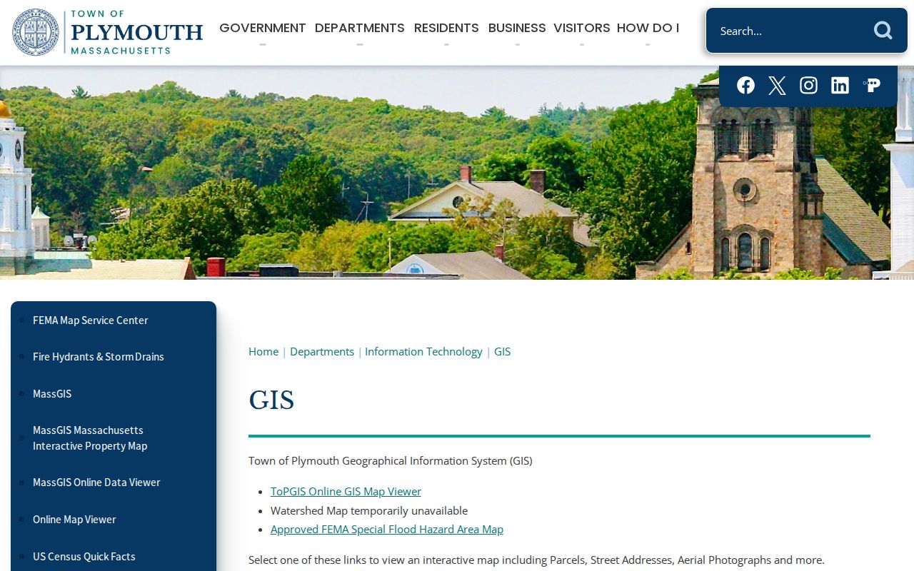
That page is useful for choosing the right map layer, but legal boundary questions still belong with the recorded plan, survey, or deed record.
Plymouth County Neighbor Voter Records
Massachusetts makes municipal voter information public subject to exclusions, but it does not offer a general countywide voter-file search. The Secretary's individual voter-status lookup requires first name, last name, date of birth, residential ZIP, and an acknowledgement that it is for a voter checking their own status. It is not a tool for producing a block list. The statewide voter file is restricted to statewide campaigns and political parties under a licensing agreement.
For a public local file, identify the municipality first and contact its clerk or election office. A request can name the town, file date, preferred format, and public fields. Massachusetts records list public voter information such as name, address, party, date of birth, active or inactive status, and voter ID, with additional records available on request. Ballot choices are not public. An inactive status does not prove someone has left Plymouth County, and a file omits people who are not registered.
Confidential voters, minors and pre-registrants, phone and email information, veteran status, and permanent-absentee information stay outside ordinary public files. Use a local file only as dated registration evidence, never as a complete household list.
Plymouth County Neighbor Civic Geography
Plymouth's public civic layer can help identify the responsible office and the neighborhood name used in public discussion. The town's agenda categories include the North Plymouth Steering Committee, Manomet Village Steering Committee, Plymouth Center Steering Committee, West Plymouth Steering Committee, Cedarville Steering Committee, Historical Commission, Planning Board, and Board of Registrars. These bodies publish meetings and civic matters. They do not publish private membership lists or a directory of households.
North Plymouth Steering Committee
Use the town agenda route for public meeting notices, agendas, and neighborhood-facing projects.
Manomet Village Steering Committee
Public agendas can clarify the civic name, project address, and town office involved.
Plymouth Center and West Plymouth
Steering-committee records are public civic contacts, not a source for private block rosters.
The Plymouth agenda center shows the official categories that make up this civic layer.
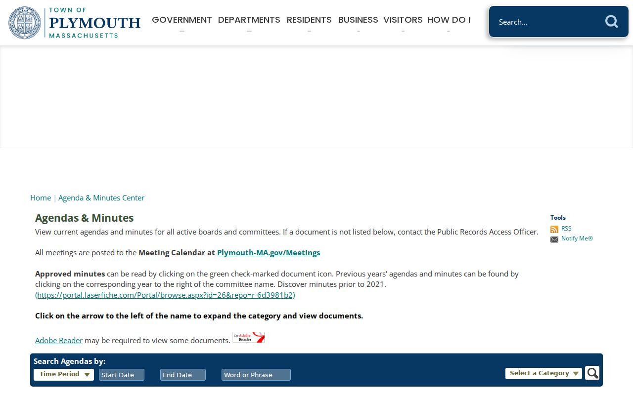
Public agendas can also preserve a locality label that differs from a modern postal last line. Across the county, names such as Manomet, Cedarville, Greenbush, Brant Rock, Onset, and White Horse Beach can help connect an older record with its municipality.
Plymouth County Neighbor House Histories
A historic block sometimes needs a source other than the parcel card. The Plymouth Public Library keeps the non-circulating Plymouth Collection in the Bartlett Room, while its History Room is open by appointment. Its Plymouth Historic Houses Collection has ten binders based on the 1992 to 1995 Massachusetts Historical Commission survey and an alphabetical street-name index. A house-history file can identify a historic name, builder, architectural detail, and residents associated with the property.
Use that record for family history and block context, then compare it with the dated deed, directory, census, or permit. The statewide MACRIS historic inventory is a companion map and database. Plymouth's historic districts and listings can explain why a preservation record names an address that does not appear in a current assessor search. Neither library material nor a survey inventory replaces the legal ownership record.
Note: Preserve the original locality or street spelling from a historical source before translating it into a current municipal and ZIP reference.
Plymouth County Neighbor Privacy Limits
Public block research stops at the public record. A parcel record does not supply a complete household roster. Utility, delivery, phone, email, and private account data are outside this method. Massachusetts protects confidential voters, and the Address Confidentiality Program supplies a substitute address for eligible survivors and certain protected health-care providers. Court files can be sealed or impounded. The Registry's redaction or court process applies to a specific legal issue, not a simple request to erase public deed history.
Massachusetts law also protects specified government employee and family address, phone, and email information, adoption contact indices, and certain protected health-care provider information. RMV personal information is governed by the federal Driver's Privacy Protection Act and is not a public address shortcut. If an official result has a protected field, do not seek to reconstruct it from other records.
Lawful use. Use Plymouth County neighbor records for lawful personal, historical, property, or civic research. Repeated unwanted contact, harassment, intimidation, or an attempt to expose protected information can violate Massachusetts law.